


8.8 km | 13.6 km-effort

User GUIDE


FREE GPS app for hiking
 SityTrail
IGN / Geographical institutes
SityTrail World
The world is yours!
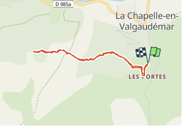
Trail Walking of 4.3 km to be discovered at Provence-Alpes-Côte d'Azur, Hautes-Alpes, La Chapelle-en-Valgaudémar. This trail is proposed by Orcal37.
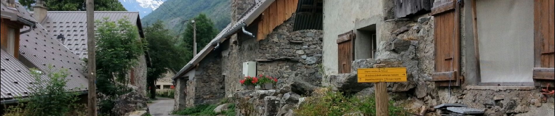
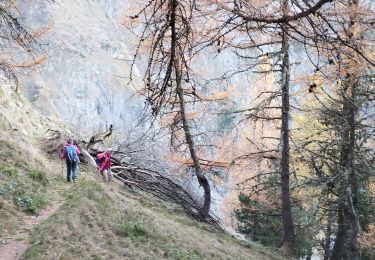
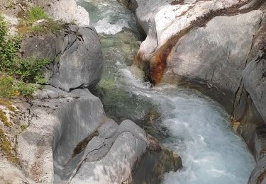
Valgaudemar - La Chapelle (les Portes) forêt - 4.3km 285m 1h35 - 2018 07 05 - public
 forêt - 4.3km 285m 1h35 - 2018 07 05 - public - Photo 1")
 forêt - 4.3km 285m 1h35 - 2018 07 05 - public - Photo 2")
 forêt - 4.3km 285m 1h35 - 2018 07 05 - public - Photo 3")
 forêt - 4.3km 285m 1h35 - 2018 07 05 - public - Photo 4")
 forêt - 4.3km 285m 1h35 - 2018 07 05 - public - Photo 5")

Walking

Walking

Walking

Walking

Walking

Walking

Walking
Walking
Walking